-40%
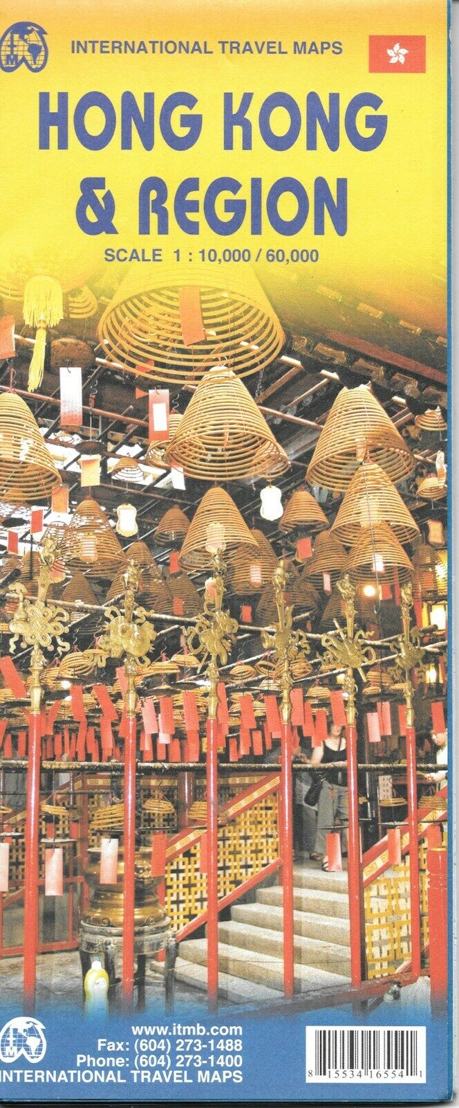
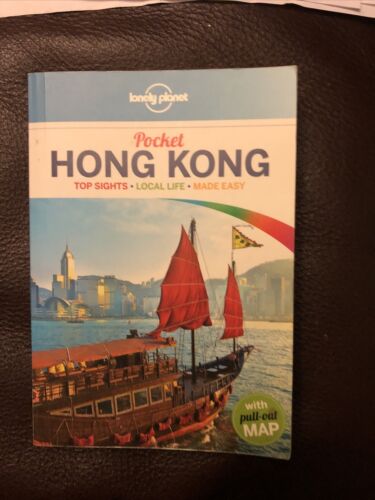
Map of Hong Kong & Region, China, by ITMB
$ 4.72
- Description
- Size Guide
Description
Map of Hong Kong & Region, China, by ITMBHong Kong on a waterproof and tear-resistant, double-sided map from ITMB presenting on one side a street plan of Hong Kong with Kowloon at 1:10,000 and on the reverse a road map of the HK Special Administrative Region at 1:60,000, plus a diagram of the transport network.
The street plan show Hong Kong and Kowloon at 1:10,000 with coloring for the main traffic arteries, very clear presentation of the highway junctions, and marking for one way streets. Where appropriate, MTR and KCR stations are shown with multiple entrances/exits, and the map also shows the double-decker tram line, the Mid-Levels Escalator and the ferry connections across the Victoria Harbour and Kowloon Bay. The plan also shows pedestrianized streets and those with staircases in the hilly part of the Hong Kong Island. Various places of interest and facilities are highlighted, including selected hotels.
On the reverse is an indexed road map of the Hong Kong SAR at 1:60,000, extending north to Shenzehen. Altitude coloring shows the topography. Railway and ferry connections are marked and numerous places of interest are highlighted. On both sides place names are given in the Latin alphabet only, with on the road map selected location also shown in Chinese. The map includes a diagram of the transport network.
Map measures approx. 39" x 27" when unfolded.
Copyright 2013, ISBN
9781553416555
Map is new!
